PLEASE NOTE: We are currently not undertaking any framing or restoration work.

The Night Sky

The stars looking North & South in January - December as seen from any place in the latitude of the British Isles. First published circa 1925. Showing the Constellations. Hutchinson's Spledour Of The Heavens. Sun, Moon, Earth, Planets, Comets, Nebulae, Stars, Gravitation, Tides, Seasons, Light Etc.

The Stars Looking North & South in April circa 1925 (AprilNightSky)

The Stars Looking North & South in April circa 1925 View Item

The Stars Looking North & South in August circa 1925 (AugustNightSky)

The Stars Looking North & South in August circa 1925 View Item

The Stars Looking North & South in December circa 1925 (DecemberNightSky)

The Stars Looking North & South in December circa 1925 View Item

The Stars Looking North & South in February circa 1925 (FebruaryNightSky)

The Stars Looking North & South in February circa 1925 View Item

The Stars Looking North & South in January circa 1925 (JanuaryNightSky)

The Stars Looking North & South in January circa 1925 View Item

The Stars Looking North & South in July circa 1925 (JulyNightSky)

The Stars Looking North & South in July circa 1925 View Item

The Stars Looking North & South in June circa 1925 (JuneNightSky)

The Stars Looking North & South in June circa 1925 View Item

The Stars Looking North & South in March circa 1925 (MarchNightSky)

The Stars Looking North & South in March circa 1925 View Item

The Stars Looking North & South in May circa 1925 (MayNightSky)

The Stars Looking North & South in May circa 1925 View Item

The Stars Looking North & South in November circa 1925 (NovemberNightSky)

The Stars Looking North & South in November circa 1925 View Item

The Stars Looking North & South in October circa 1925 (OctoberNightSky)

The Stars Looking North & South in October circa 1925 View Item

The Stars Looking North & South in September circa 1925 (SeptemberNightSky)

The Stars Looking North & South in September circa 1925 View Item
Original Maps

Original Maps

These extremely rare maps have been in existence since they were originally printed and are not modern reproductions.

Shop Now
Republished Maps

Republished Maps

Modern reproductions of antique maps - professionally created to closely match the original production methods.

Shop Now
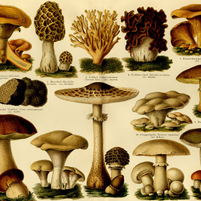
Antique Illustrations

Antique Illustrations

An eclectic range of antique illustrations. Available in a hand-made frame or supplied rolled in a tube.

Shop Now

Antique Map Triptychs

Antique Map Triptychs

Our renowned antique map triptychs look stunning in any environment and are available in widths up to 10 feet!

Shop Now
Framed Antique Maps

Framed Antique Maps

Our larger maps are available to purchase in a hand-made frame, ready to hang, creating a stunning impression.

Shop Now
Old Folding Maps
Stanfords Library Map of Modern London c.1878

Stanfords Library Map of Modern London c.1878

A map designed by Edward Stanford (1827 - 1904) who was a map maker and seller prominent in the late 19th century.

Shop Now
Booth's Descriptive Map of London Poverty c.1889

Booth's Descriptive Map of London Poverty c.1889

Charles Booth's Descriptive map of London Poverty first published circa 1889. Available in area sectionals.

Shop Now
Antique Illustrations

Horwood's Old Map of London c.1826

Horwood's Old map of London, first published circa 1799. This map is very large and is available to purchase in sections.

Shop Now
Old Folding Maps

AVAILABLE FROM THIS WEBSITE AND ALSO FROM:

Available From
