PLEASE NOTE: We are currently not undertaking any framing or restoration work.

THIS IS A REBUBLISHED PRINT LAID ONTO CLOTH
Ref: JuneNightSky, 1925
The stars looking North & South in June as seen from any place in the latitude of the British Isles. First published circa 1925. Showing the Constellations.
As published circa 1925:
Hutchinson's Spledour Of The Heavens. Sun, Moon, Earth, Planets, Comets, Nebulae, Stars, Gravitation, Tides, Seasons, Light Etc.
Our plate shows the aspect of the sky as seen, looking North and South, from Westminster Bridge; but the positions of the stars will be practically the same in the latitude of Great Britain.
The stars will appear in the positions shown on June 1 at about 11.30pm (Greenwich Mean Time). Each night the same aspect is presented four minutes earlier than on the previous night.
| Rolled in a covered tube | £32.00 |
Pigment ink, archival paper, laid on cloth.
All prices include VAT and free UK shipping. There may be additional charges for shipping outside the UK.

These extremely rare maps have been in existence since they were originally printed and are not modern reproductions.
Shop Now
Modern reproductions of antique maps - professionally created to closely match the original production methods.
Shop Now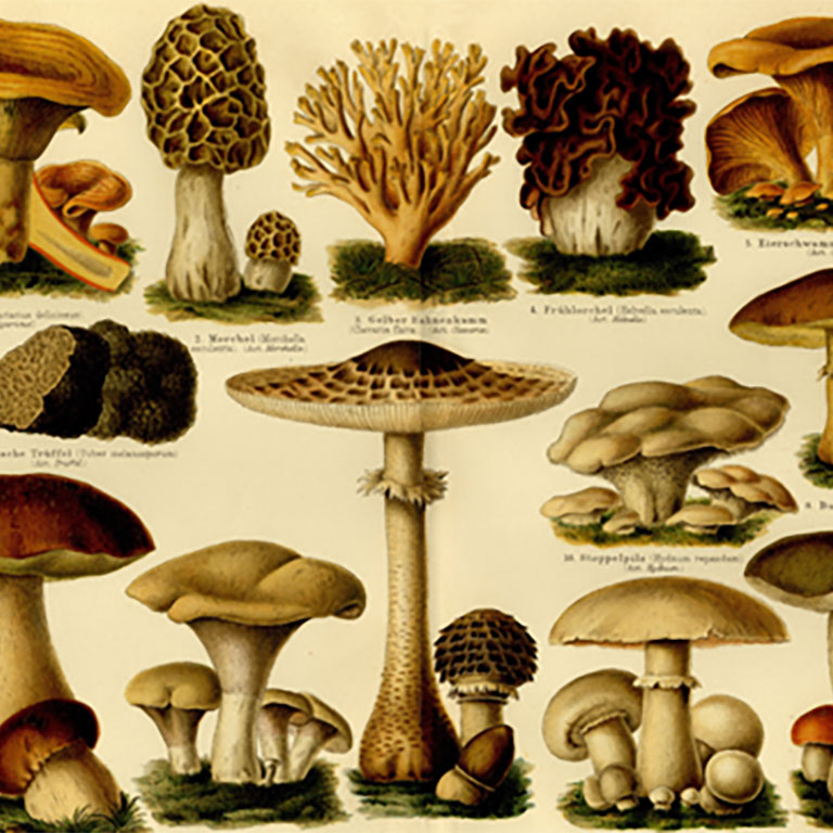
An eclectic range of antique illustrations. Available in a hand-made frame or supplied rolled in a tube.
Shop Now

A map designed by Edward Stanford (1827 - 1904) who was a map maker and seller prominent in the late 19th century.
Shop Now
Charles Booth's Descriptive map of London Poverty first published circa 1889. Available in area sectionals.
Shop Now
Horwood's Old map of London, first published circa 1799. This map is very large and is available to purchase in sections.
Shop NowAVAILABLE FROM THIS WEBSITE AND ALSO FROM:



