PLEASE NOTE: We are currently not undertaking any framing or restoration work.

THIS IS A REBUBLISHED MAP LAID ONTO CLOTH
Ref: Scot025, 1882, George Phillip & Son


Antique county map of Sutherland first published circa 1882, republished 2018. Railways, roads, and canals are all clearly illustrated, alongside a key referencing the Parishes of Sutherland including Tongue, Farr, Loth, Dornoch, and Lairg.
George Phillip (1800 - 1882) was a cartographer and map publisher during the nineteenth century. Born in Aberdeenshire, Scotland, he founded his business in Liverpool, producing maps and educational books. His son, George II, joined the business in 1848 and they moved to London in 1856, trading under the name George Phillip & Son.
Originally producing maps from copper plates which were hand coloured (usually by women), they progressed to producing machine coloured maps on a power-driven lithographic press by the latter half of the nineteenth century. They published maps from various cartographers including J.Bartholomew.
| Laid on cloth in a marbled slip case | £32.00 |
Small maps are laid as one piece all others are dissected - See here
All prices include VAT and free UK shipping. There may be additional charges for shipping outside the UK.

These extremely rare maps have been in existence since they were originally printed and are not modern reproductions.
Shop Now
Modern reproductions of antique maps - professionally created to closely match the original production methods.
Shop Now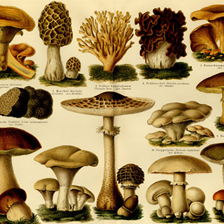
An eclectic range of antique illustrations. Available in a hand-made frame or supplied rolled in a tube.
Shop Now

A map designed by Edward Stanford (1827 - 1904) who was a map maker and seller prominent in the late 19th century.
Shop Now
Charles Booth's Descriptive map of London Poverty first published circa 1889. Available in area sectionals.
Shop Now
Horwood's Old map of London, first published circa 1799. This map is very large and is available to purchase in sections.
Shop NowAVAILABLE FROM THIS WEBSITE AND ALSO FROM:



