PLEASE NOTE: We are currently not undertaking any framing or restoration work.

THIS IS A REBUBLISHED MAP LAID ONTO CLOTH
Ref: Smiths009, 1884, Charles Smith


Antique county map of Devon first published c.1800, republished 2017. Villages, towns, and cities illustrated include Exeter, Torrington, Hartland, Totnes, Tiverton, and Bideford.
Charles Smith was a cartographer working in London from circa 1800. His maps were finely engraved on copper and featured beautiful hand colouring. The county maps were initially issued as single sheets for travelers from 1800. These were generally laid down on cloth to prolong what would for them be a hard and generally quite a short life on the road. In 1804 they were published as an atlas, Smith's New English Atlas.
The maps are large and contain information required by a traveler of the time. All the principal turnpike roads are shown with distances from town to town. The local administrative divisions, such as the hundreds, are indicated by different colours. The hundred was of Saxon origin and was an area of approximately 100 households. As its head was an Elderman who was held responsible for supplying fully equipped men for the King in times of war and for the administration of justice. The hundred court was where justice was administered and by the 13th century they were held 12 times a year in a meeting place in the principal town. Local issues were also discussed here and decisions made, the town usually giving its name to the hundred.
When this map was published:
TRAVELING
In 1800 it was a very long and uncomfortable journey to London from most parts of the country but over the next 100 years it became much less so. The beginning of this process was the establishment of turnpike roads and the improvement in coach technology. Before turnpike roads were established travel even in summer was very difficult and often impossible in winter. Local parishes were responsible for the upkeep of roads and local people were expected to work on them for up to six days a year. Roads were neglected and travel times varied little from pre Roman times to the 18th century.
The term turnpike was of military derivation and refers to the practice of placing a pikestaff across the road which was turned aside upon the payment of a toll allowing travelers to pass through. The first turnpike was authorised by a local justice of the Peace in 1663 but not until 1706 were they established by Acts of Parliament. By the mid-18th century it was possible to travel to most provincial cities by turnpike roads but most roads in general were unsuitable for wheeled traffic, goods were in the main transported by packhorse or donkey and people traveled by horse or on foot.
In circa 1700 travelling was a long and arduous business. By horse or ox drawn cart three weeks or more would have been required to travel from somewhere like Truro to London if conditions were good, by horse up to 5 days. in winter much longer, if at all. It was much faster and cheaper to travel by sea to London from Truro but wind and weather had to be set fair. For most life revolved around the village with occasional journeys to the nearest market town for some. Travel times slowly reduced as the roads and carriage design improved and with the introduction of stage and mail coaches. By the late 18th century the mail coach made the journey from Bristol to London in 16 hours and by the early 19th century Truro could be reached in two or three days but this would have been a frantic journey of constant travel and changing of the horses.
Travel was expensive. In Jane Austens day the stage coach fare was around 3d a mile. This was not the only cost of course, overnight stays at the coaching inns and the tips for porters, chambermaids, guards and others would add considerably to the costs. Additionally there would have been a charge of 12d per stage (circa 1820) of approximately 30 or 40 miles for the coachman.
Last and not least was the danger from highwaymen and footpads. London was surrounded by heaths and commons. The road to Truro had to pass through Hounslow Heath and Maidenhead Thicket, both notorious for highwaymen. The introduction of armed guards on mail and stage coaches reduced the risks and the introduction of the turnpikes with the manned toll houses reduced the risks still further and by the 1820's attacks were rare.
Finally with the railway revolution travel became a realistic possibility even for the population in rural communities. Travel became much safer and times reduced to what we are familiar with today. The first passenger railway, the Stockholm to Darlington line opening in 1827, inaugurated the railway age and soon London would become within reach of the average man or women. At last it became possible for local good, including perishables, to be transported cheaply to the metropolis and for goods to travel the other way enabling a rise in Cornwall's prosperity. People could now work at a considerable distance from where they lived and thus the commuter was born. As they traveled further and more often the demand for accurate and up to date maps greatly increased.
| Laid on cloth in a marbled slip case | £32.00 |
Small maps are laid as one piece all others are dissected - See here
All prices include VAT and free UK shipping. There may be additional charges for shipping outside the UK.

These extremely rare maps have been in existence since they were originally printed and are not modern reproductions.
Shop Now
Modern reproductions of antique maps - professionally created to closely match the original production methods.
Shop Now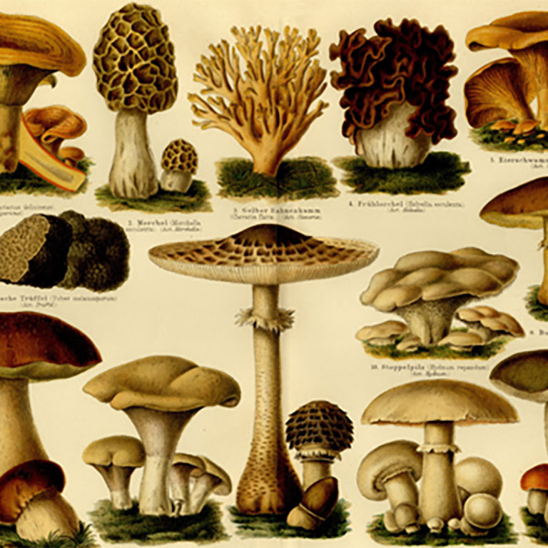
An eclectic range of antique illustrations. Available in a hand-made frame or supplied rolled in a tube.
Shop Now

A map designed by Edward Stanford (1827 - 1904) who was a map maker and seller prominent in the late 19th century.
Shop Now
Charles Booth's Descriptive map of London Poverty first published circa 1889. Available in area sectionals.
Shop Now
Horwood's Old map of London, first published circa 1799. This map is very large and is available to purchase in sections.
Shop NowAVAILABLE FROM THIS WEBSITE AND ALSO FROM:



