
THIS IS A REBUBLISHED PRINT LAID ONTO CLOTH
Ref: Bespoke050, 1861, James Wyld


Published by James Wyld circa 1861 this is a map of the World on Mercator's projection circa 1861. The map predates the purchase from Russia of Alaska for $7.2 million in 1867. The interior of Africa is mostly unknown to European map makers as are the Arctic and Antarctic regions. Similarly the Australian interior is uncharted.
When this map was published:
Mercator's Projection:
It is impossible to portray the reality of a spherical world on a flat map. Projections come with a trade off between shape, distance, direction, and land area.
Mercator’s projection was first used on world maps in 1569 introduced by Flemish cartographer Gerardus Mercator. The important factor on maps based on Mercator’s projection is that the outline of countries remains true to form, but mostly that it provides a simple, reliable way to navigate the ocean. A line drawn between two points on the map would provide the exact angle to follow on a compass.
The land mass is grossly exaggerated around the North Pole and shrinks around the equator. In reality:
-China is four times bigger than Greenland
- The Scandinavian countries have a much smaller land mass. Scandinavia could fit inside India’s border three times over
- Greenland is 14 times smaller than Africa
- All of North America and the European countries are represented larger than they truly are
- Canada and Russia appear to take up approximately 25 % of the Earth’s surface, when in reality they occupy about 5%.
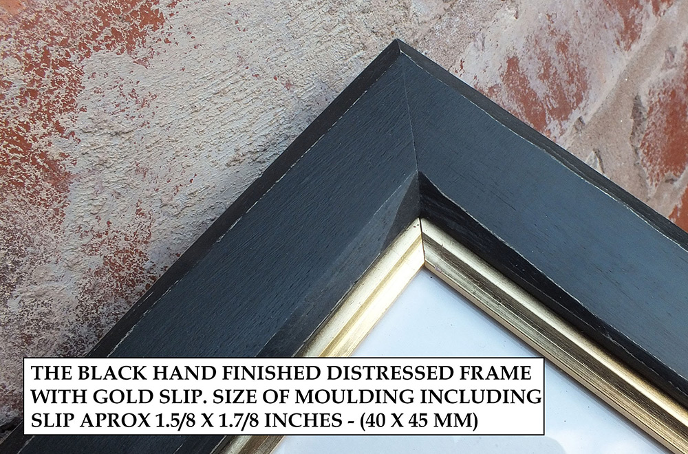
| Framed - Distressed Black | £495.00 |
Small maps are laid as one piece all others are dissected - See here
All prices include VAT and free UK shipping. There may be additional charges for shipping outside the UK.

These extremely rare maps have been in existence since they were originally printed and are not modern reproductions.
Shop Now
Modern reproductions of antique maps - professionally created to closely match the original production methods.
Shop Now
An eclectic range of antique illustrations. Available in a hand-made frame or supplied rolled in a tube.
Shop Now

A map designed by Edward Stanford (1827 - 1904) who was a map maker and seller prominent in the late 19th century.
Shop Now
Charles Booth's Descriptive map of London Poverty first published circa 1889. Available in area sectionals.
Shop Now
Horwood's Old map of London, first published circa 1799. This map is very large and is available to purchase in sections.
Shop NowAVAILABLE FROM THIS WEBSITE AND ALSO FROM:



